Tag Archives: map

Eric Duff's beautiful photo of the sunset on Oct 21 was taken at Cooks Beach. Isn't it lovely?

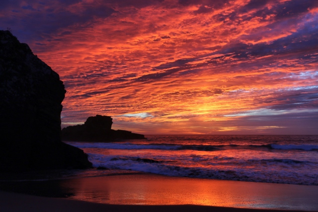
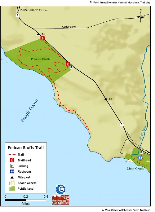
Cooks Beach is brought to us by the Redwood Coast Land Conservancy. It's a sweet pocket beach. You can print out a map which shows Cooks Beach and other properties managed by RCLC at their website: https://www.rclc.org/property-map/

Thanks to Eric for allowing me to share his photo with you here.

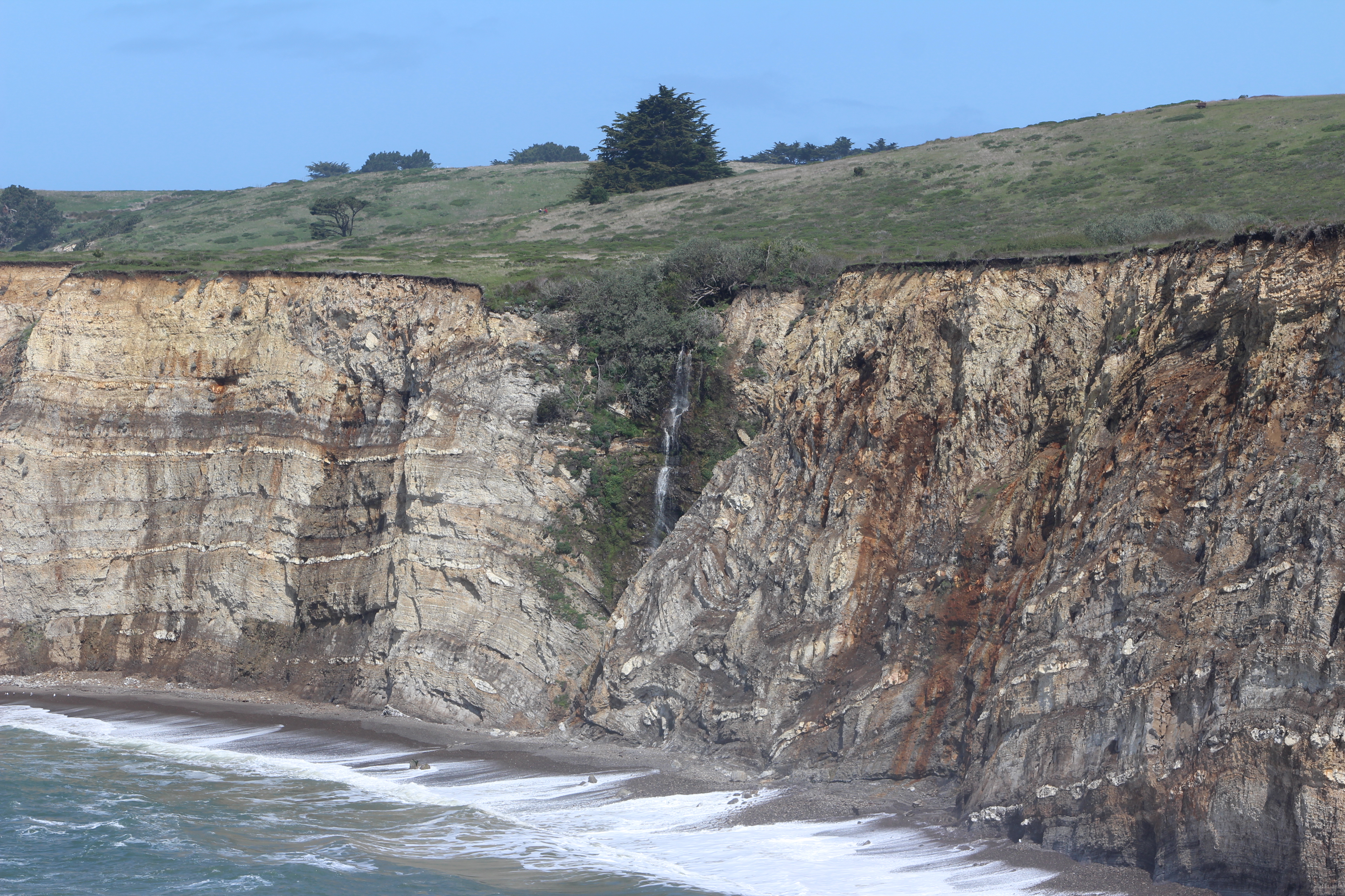
It's cooler today and rain is predicted overnight. As I write this mid-afternoon, the sun is shining with just a few clouds passing by. The surf is telling the story, though. Huge swells are hitting the coastline, sending white water up in the air. The ocean is really roaring today!

I had heard there was a seasonal waterfall at our new public access spot, Pelican Bluffs. Steve Coffey-Smith photographed it several weeks ago.

I know, it's not the most dramatic waterfall, but still it's nice to know one is there. Wildflowers are abundant at Pelican Bluff and this is a great time to explore this beautiful place.

Thanks to Steve for allowing me to share his photo with you here. To learn more about Pelican Bluffs, here's the website for the Mendocino Land Trust, the wonderful people who made this acquisition happen: https://www.mendocinolandtrust.org/trails/southern-coastal-trails/pelican-bluffs-trail/

You can download a map from their website. And here it is for you to see: