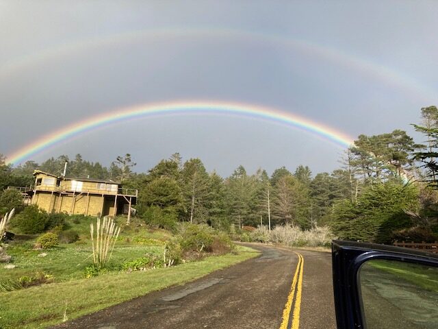
The sun came out briefly late this afternoon and I saw a glimpse of a rainbow to the east. During the last series of storms there were multiple late afternoon rainbows one day, and many people photographed them. Joan Rhine got this double rainbow in Gualala.
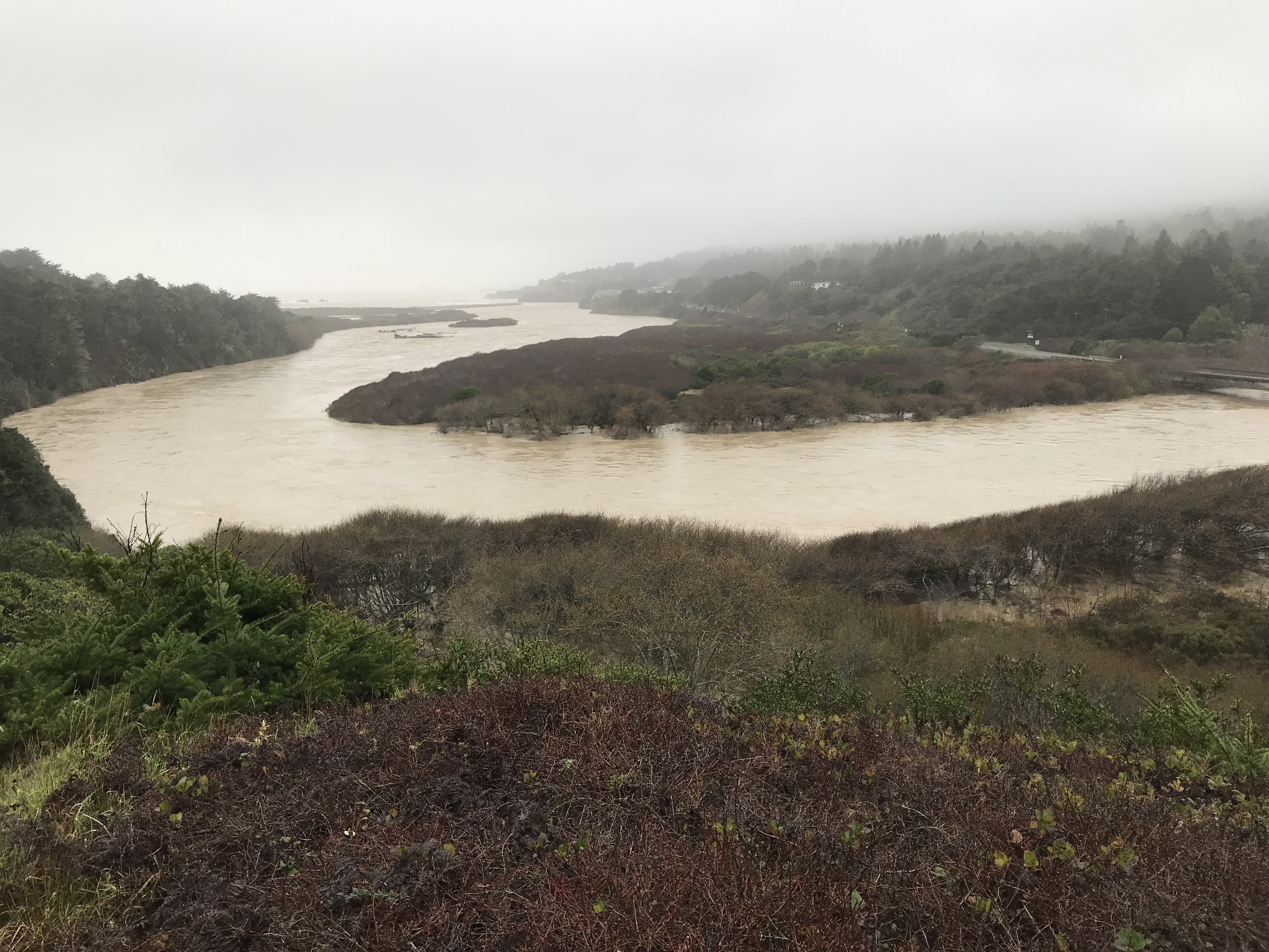
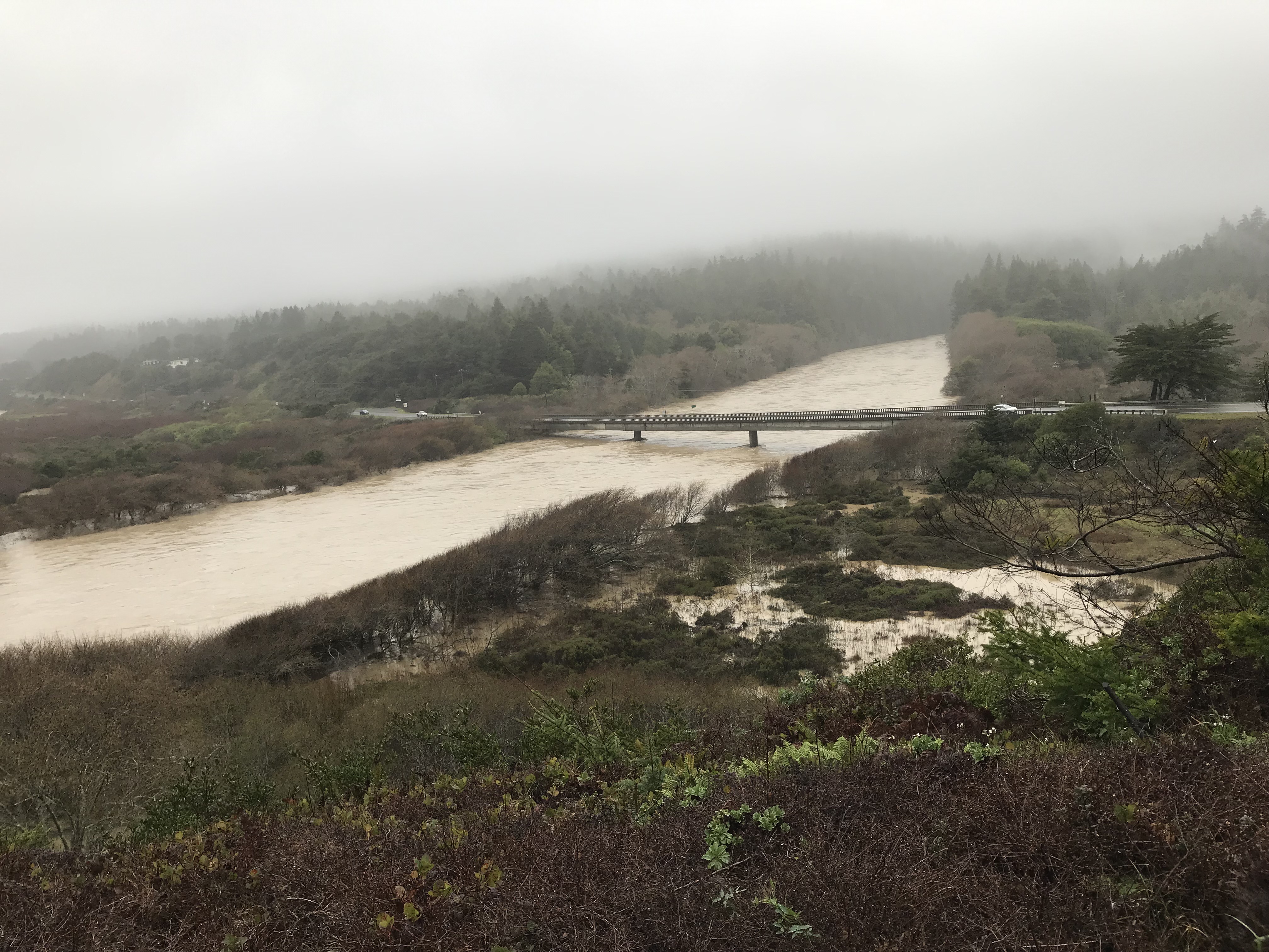
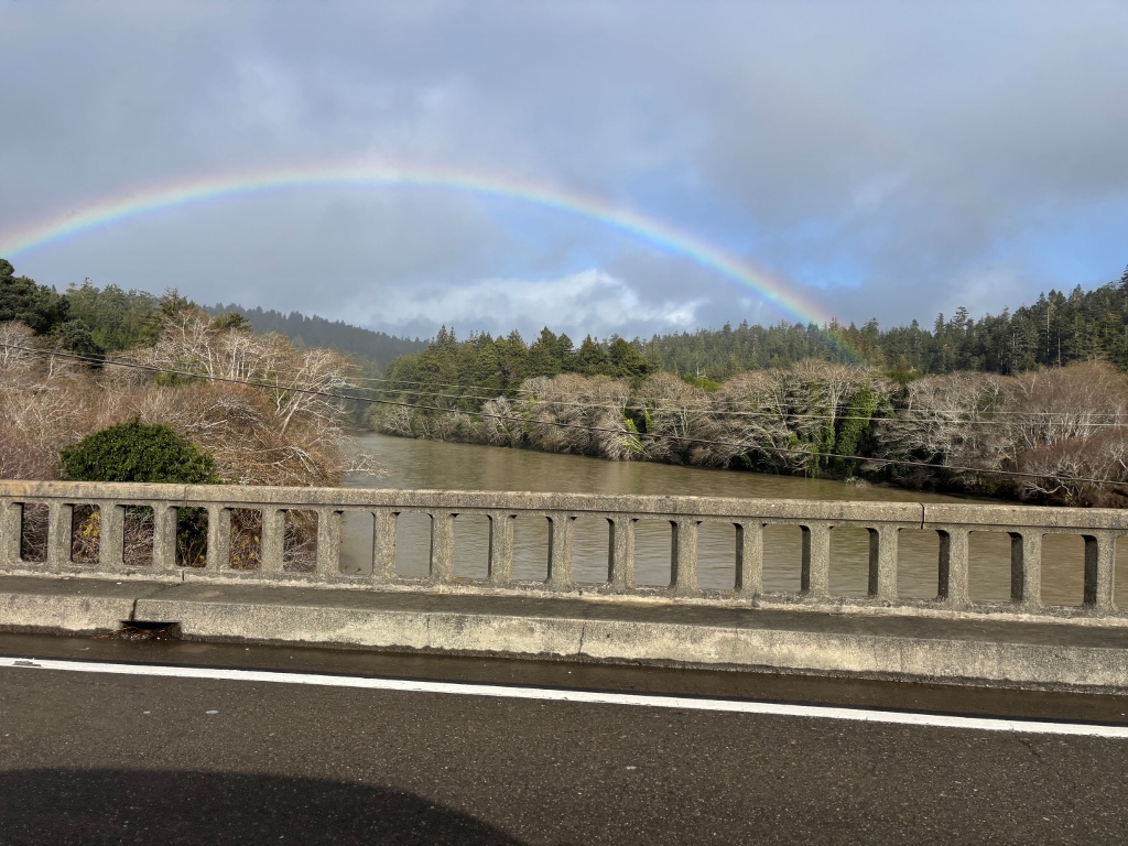
And Seve Cardosi got this one as she crossed the Gualala River Bridge. See how full the river is, and how muddy from the storms.
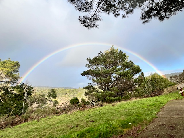
Carolyn Case was happy to find this afternoon rainbow at Gualala Point Regional Park.
Tomorrow I will show you some more from that day, including rainbows and a giraffe at B Bryan Preserve in Point Arena!
Thanks to Joan, Seve and Carolyn, aka CC, for allowing me to share their photos with you here.
Lots of rain today. The main storm seems to have passed late this afternoon, with showers at dusk. We've had six inches since the series of storms began on Jan. 1st. and a little over 30 inches season to date. The forecast says we will have a string of dry days ahead after the remnants of today's storm moves out. This could be a GREAT time to visit the Mendonoma Coast.