Author Archives: Jeanne Jackson

The big storms have washed away a lot of sand, more sand than many can remember. With the temporarily absent sand, rock formations are revealed. Ray Edlund sent me a photo the aptly named "Butt Rock."
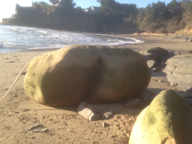
Ray Edlund wrote, “Butt Rock, usually buried under a few feet of sand, is now fully exposed for all to see after the massive surf of the last few weeks.

“Located near the south end of Cooks Beach, the recent storms removed about eight feet of sand, exposing formations which haven’t been seen for many years. Enjoy while you can. Cooks Beach is a real local jewel of a spot!”

To learn more about Cooks Beach, which is found just north of Gualala, here is the link to the Redwood Coast Land Conservancy: http://www.rclc.org/Cooks-Beach.html

Thanks to Ray for allowing me to share his photo with you here.
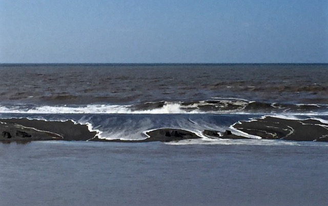
Carolyn Andre captured a photo of the Pacific Ocean flowing over the sandbar of the Gualala River.

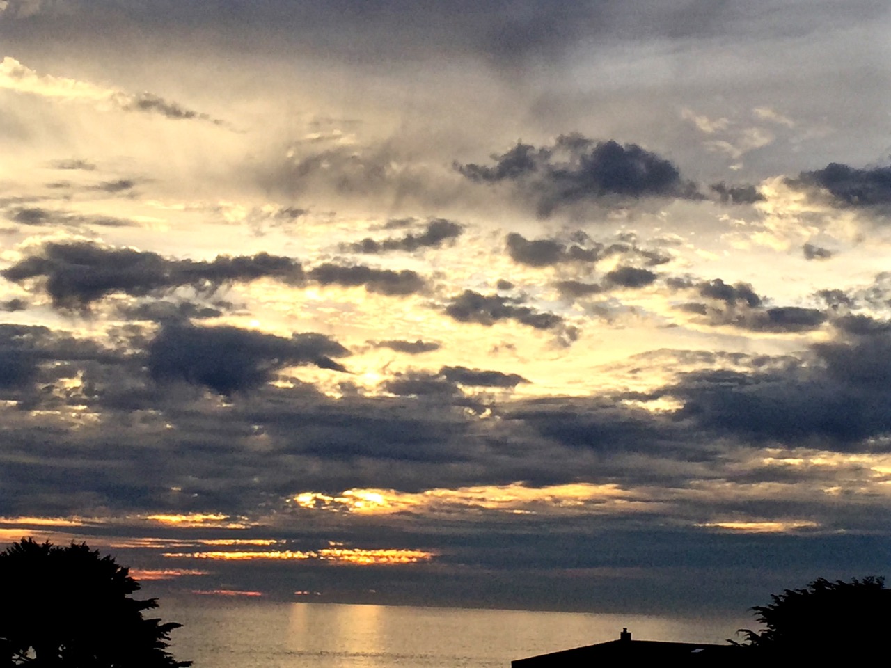
It is beautiful to see, don't you agree? Carolyn also photographed a dramatic sunset between storms.

Thanks to Carolyn for allowing me to share her photos with you here.

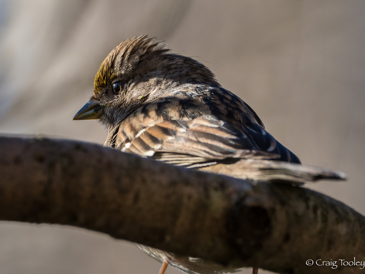
Craig Tooley has a knack for getting birds to stay still long enough for him to get a great photo. This Gold-crowned Sparrow obliged.

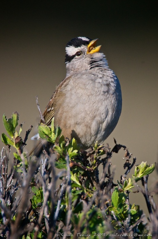
Here on the coast, it is much more likely to see a White-crowned Sparrow.

I love this photo of a White-crowned Sparrow singing. To hear this bird's call, here is a link to the Cornell Lab of Ornithology: https://www.allaboutbirds.org/guide/White-crowned_Sparrow/sounds

To compare, here is the link to hear the Gold-crowned Sparrow: https://www.allaboutbirds.org/guide/Golden-crowned_Sparrow/sounds

Thanks to Craig for allowing me to share his photos with you here. To see much more of Craig's nature photography, here is the link to his website: www.ruffimage.com

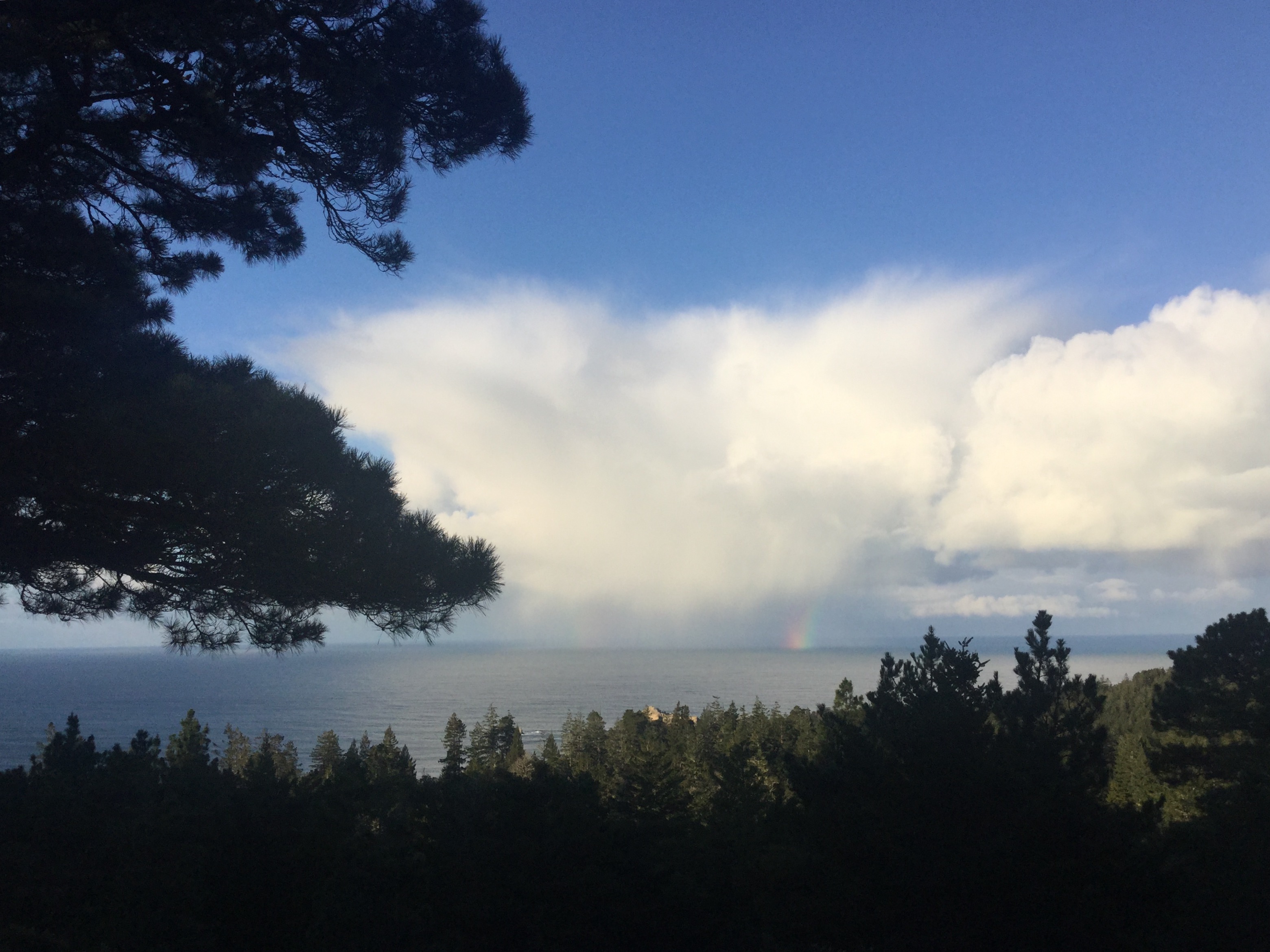
The storms have abated and left us with a sunny day. This morning's cloud show was fun to watch. Then Rick called out, "Rainbow!"

I hope you can see the small rainbow spilling out of the cloud. It was more vibrant to the naked eye!

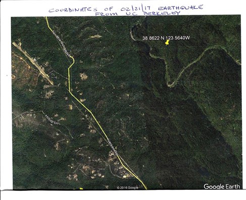
The earthquake that hit around 5:30 am on the 21st was 2.9 on the Richter scale. Not a big earthquake by any means, but the epicenter was HERE. Here is a photo from UC Berkeley Seismology Department showing the epicenter.

That wavy line on the right is the Garcia River. And, yes, the San Andreas Fault crosses the river. To learn more, here is the post on the USGS website: http://earthquake.usgs.gov/earthquakes/eventpage/nc72766286#dyfi

All is quiet here on the coast, except the cold north wind that is blowing. And it's a cold wind!

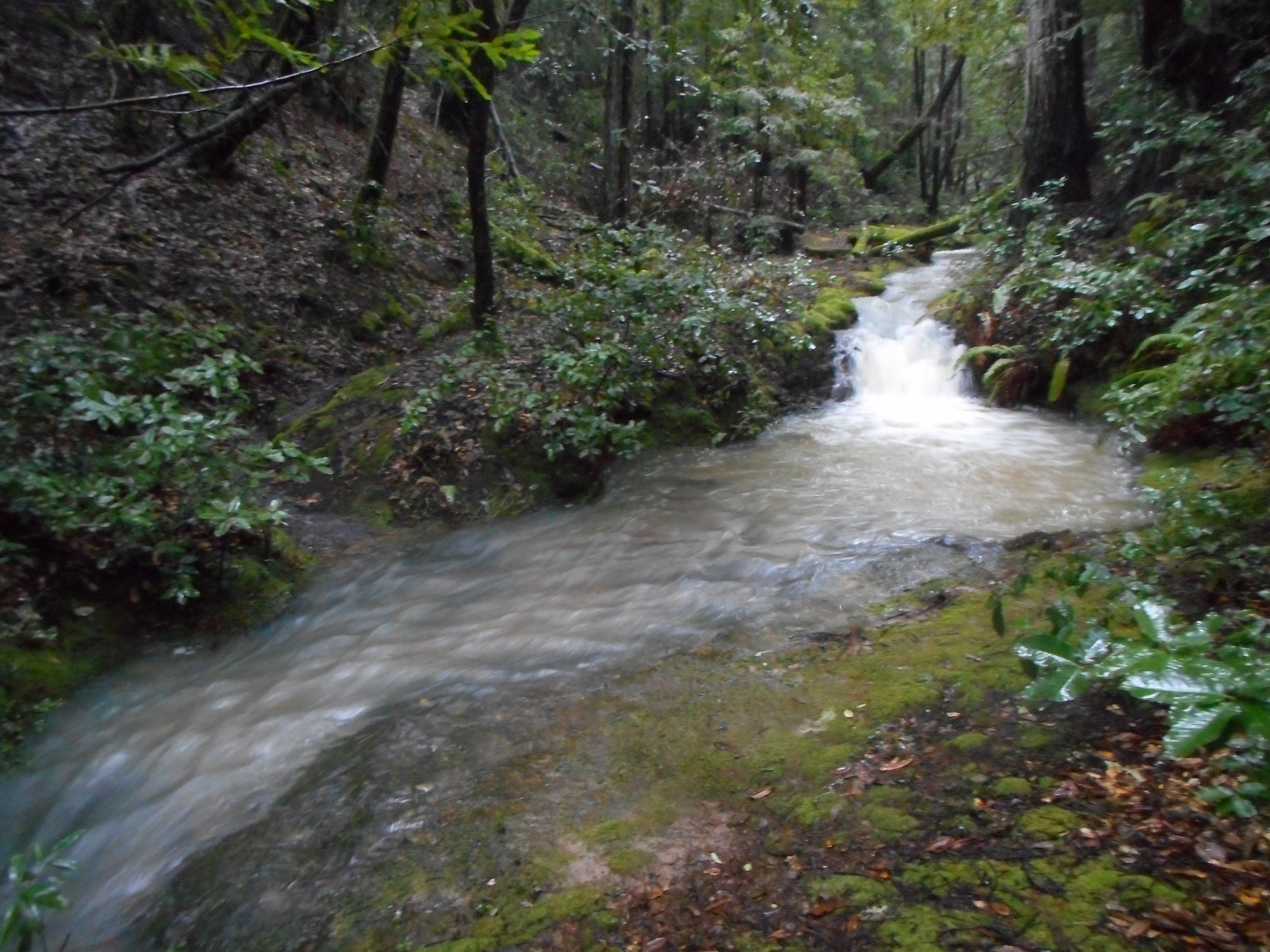
Quinliven Creek flows through out property and it's a joy to see it full from all the rains.

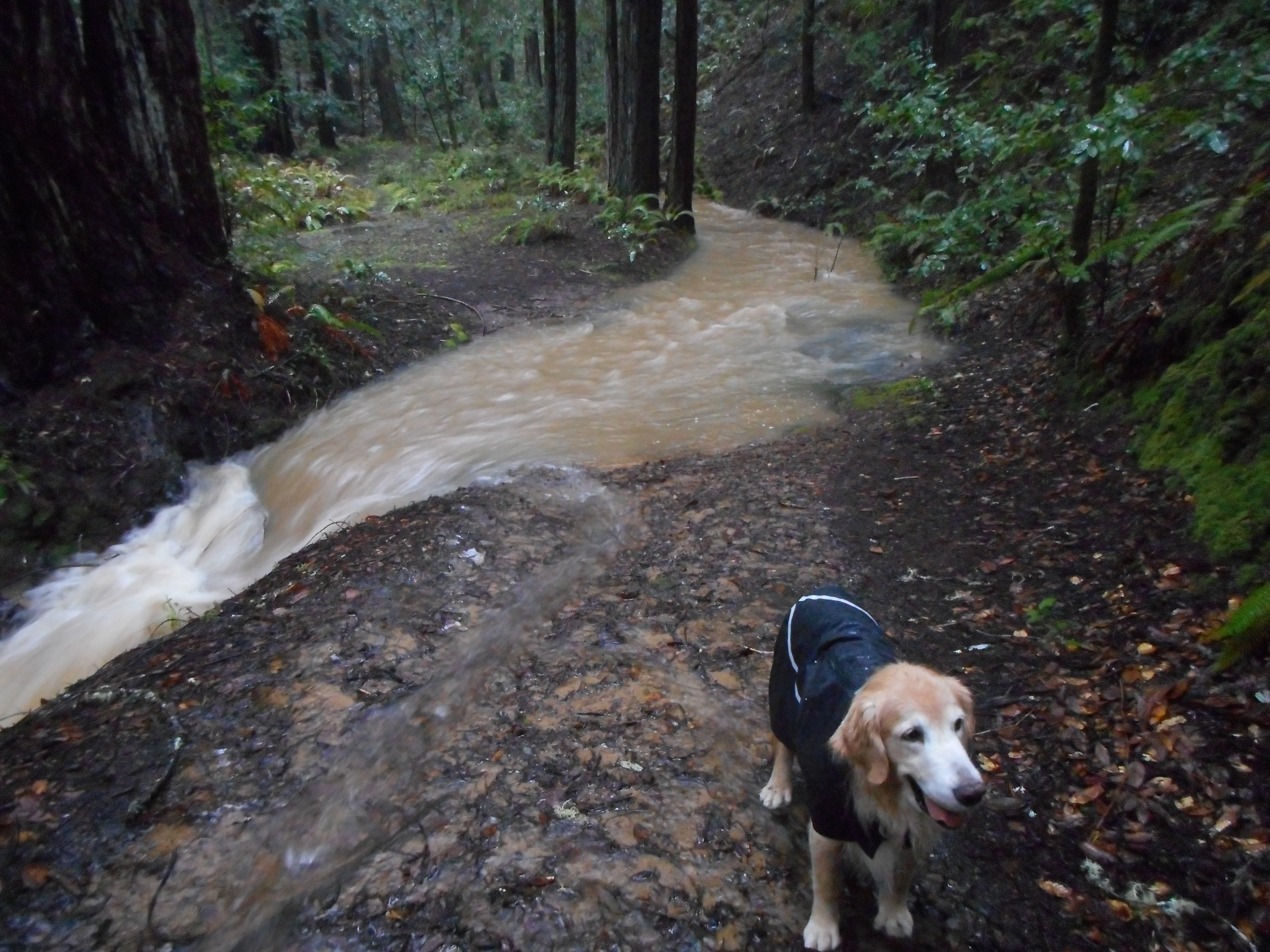
Sunny, our rescue golden retriever who came all the way from Taiwan, doesn't mind wearing a raincoat when it is raining hard.

For today, the sun has come out with an occasional shower. We even had an earthquake early this morning! It's never dull on the Mendonoma Coast.