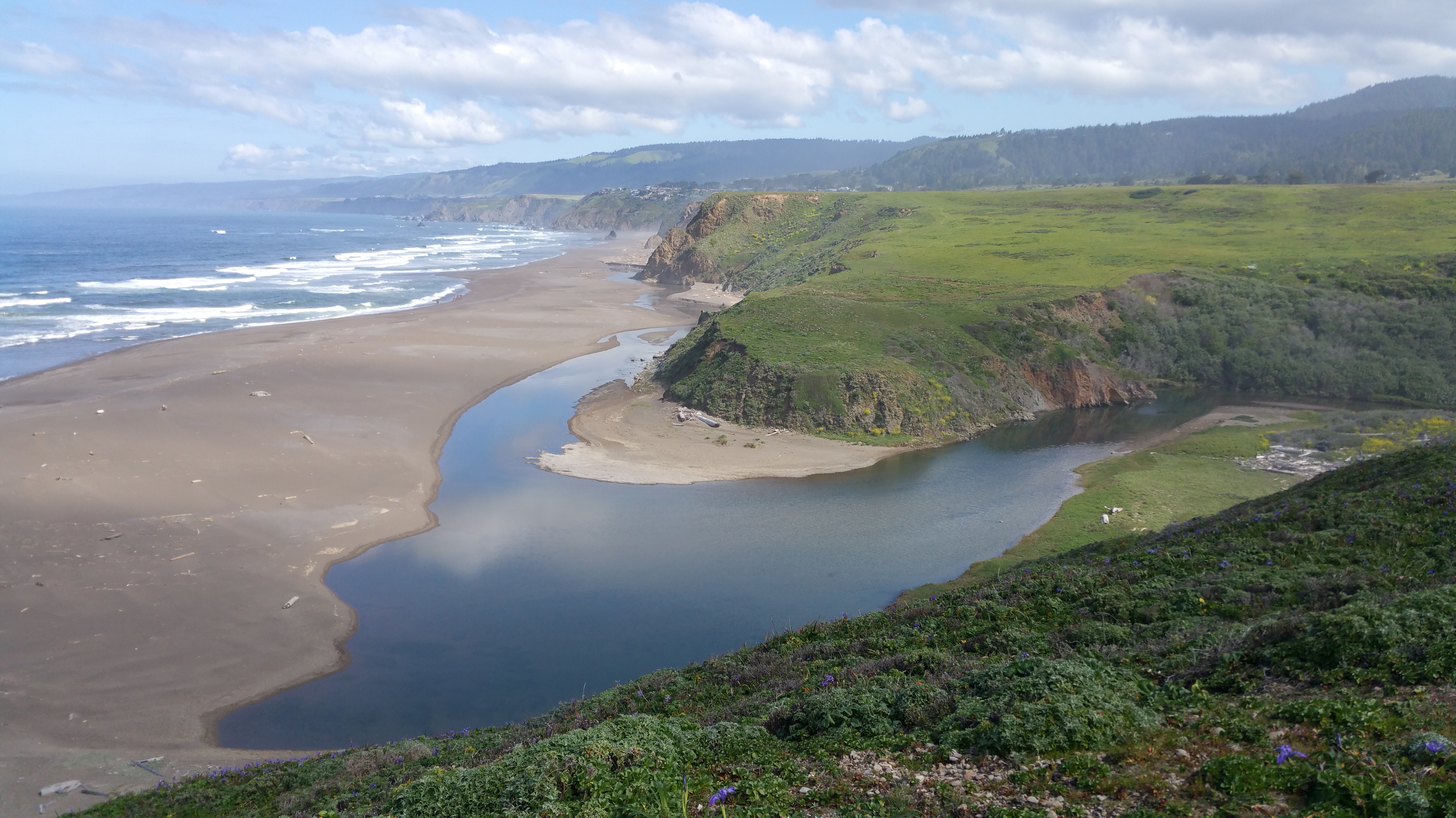
Alder Creek is at the northern border of Manchester State Park. It is also where the San Andreas earthquake fault heads out to sea. Bonney Ely recently photographed the creek, full with all the rains we have had this year.
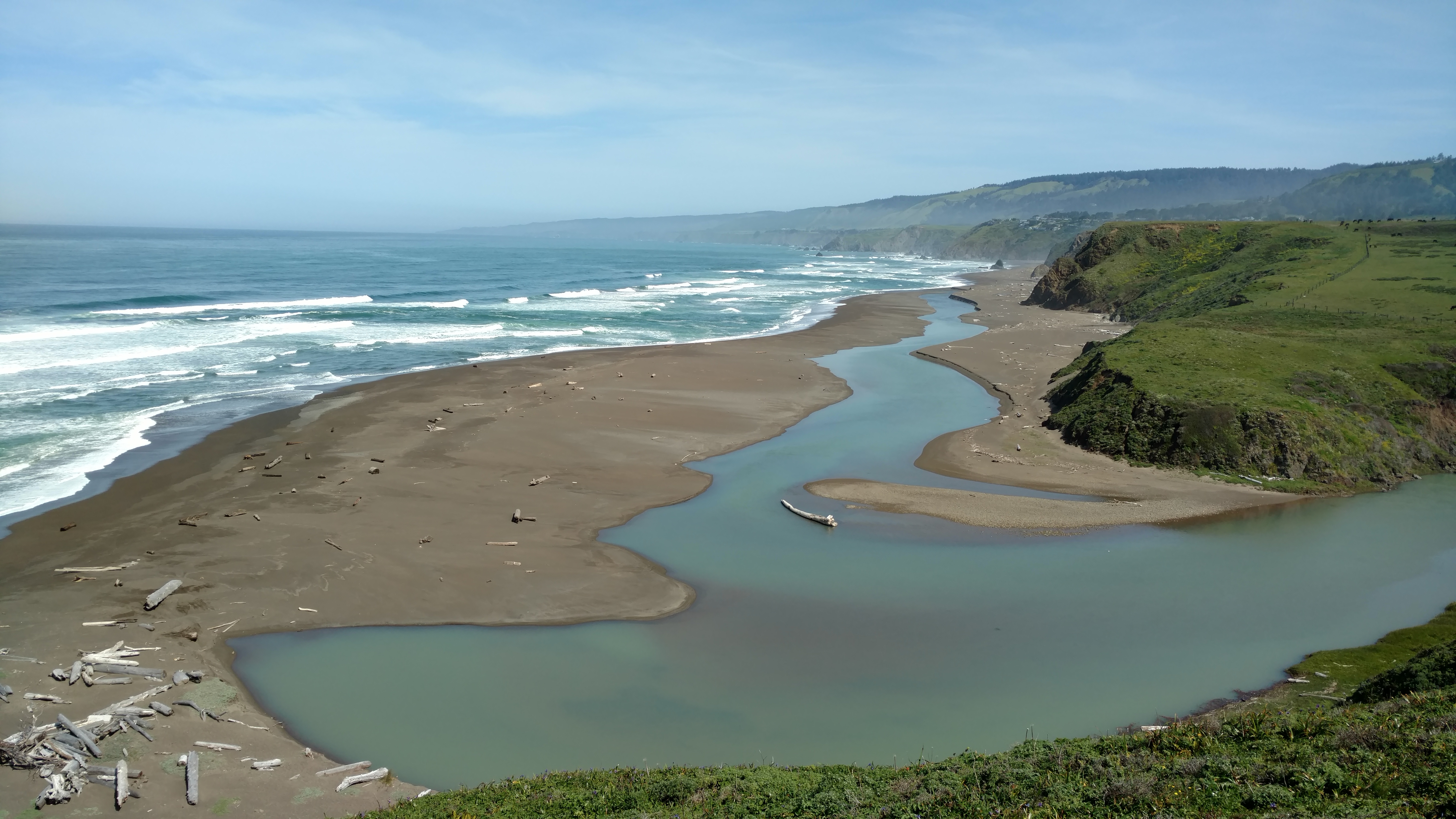 Alder Creek Road used to be our public access road to the north end of the park, but it washed out some years ago. I sincerely hope the County of Mendocino will consider rebuilding this road, but currently it seems to have been abandoned. Here is a photo Mary Sue Ittner took of the abandoned road.
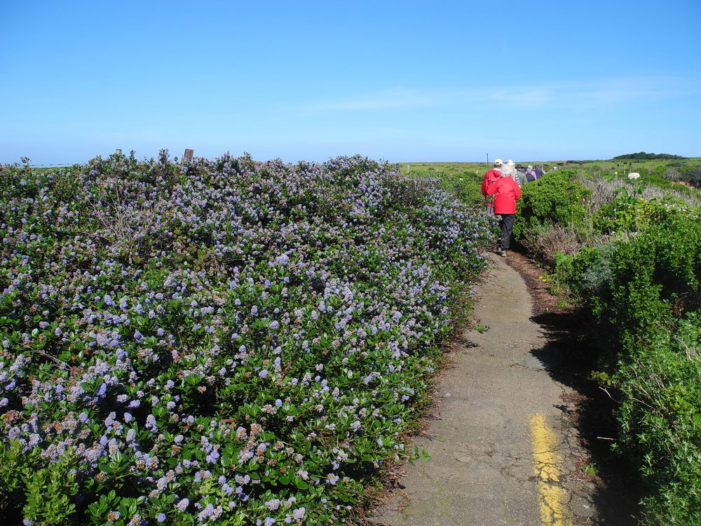 Yes, you can walk in from Highway 1, but it is a long hike. Ceanothus, wild lilac, is blooming on the left.
Thanks to Bonney and Mary Sue for allowing me to share their photos with you here.